
Step outside
Explore Simi Valley Parks, Trails & Outdoor Adventures
From community parks to regional trails, find a starting point for your next outdoor day. Confirm current conditions, hours and access rules with the managing organization.
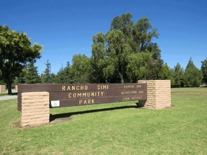
Photo source: Visit Simi Valley ↗
Community park
Rancho Simi Community Park
1765 Royal Avenue, Simi Valley
A lagoon-side outing with playgrounds, picnic areas and sports facilities.
Lagoon · Playgrounds · Picnic tables · Tennis · Pool programs
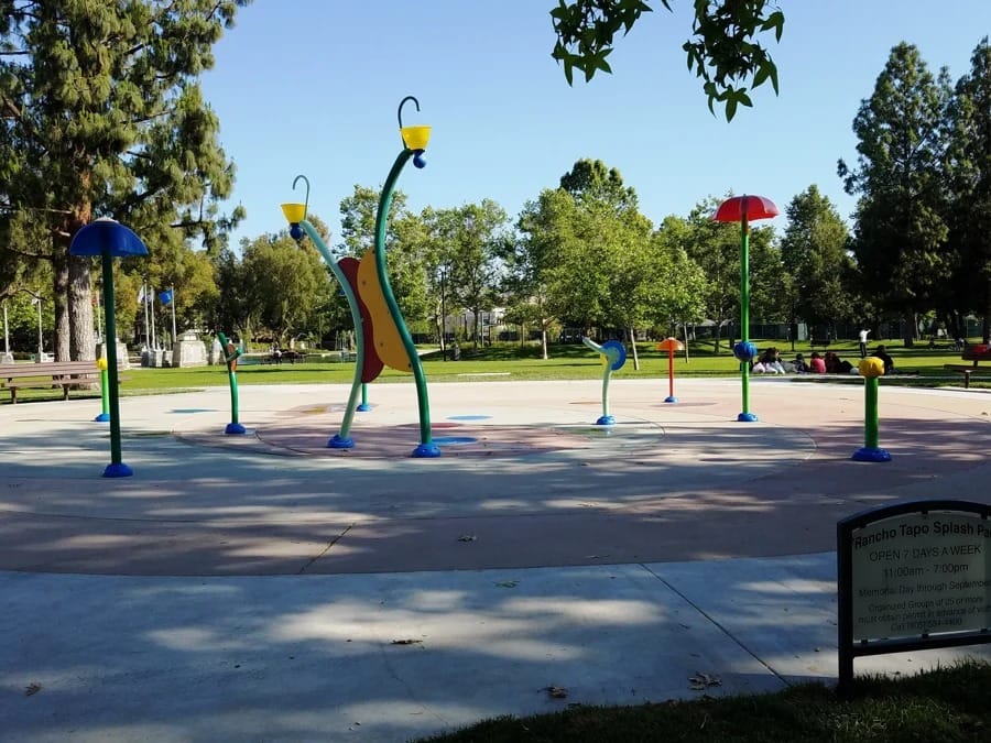
Photo source: Conejo Valley Guide ↗
Community park
Rancho Tapo Community Park
3700 Avenida Simi, Simi Valley
Also known as Lemon Park, this community destination includes Veterans Plaza.
Veterans Plaza · Play areas · Picnic areas
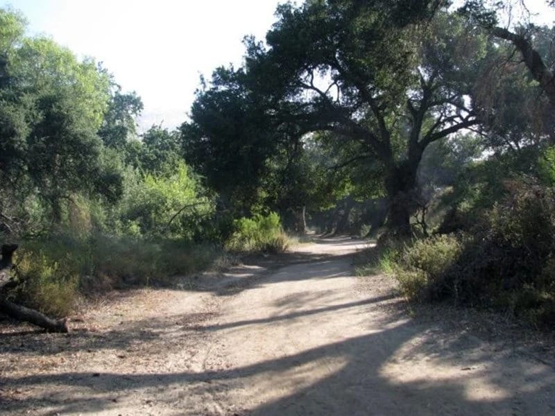
Photo source: Visit Simi Valley ↗
Natural park
Corriganville Park
7001 Smith Road, Simi Valley
Explore the former movie-ranch landscape and its interconnected walking trails.
Trail network · Parking · Film-location history
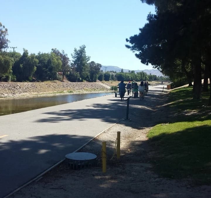
Photo source: Tripadvisor contributor ↗
Multi-use path
Arroyo Simi Greenway
Multiple access points through central Simi Valley
An east–west route for walking and cycling through the valley. Choose an entry using the district trail guide.
Multi-use path · Walking · Cycling
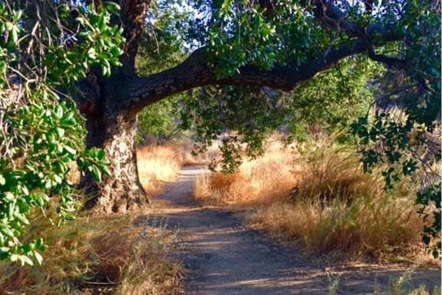
Photo source: Visit Simi Valley ↗
Hillside trail
Hummingbird Creek Trail
North end of Kuehner Drive, Simi Valley
A trail connection from the northeastern valley to Rocky Peak. Review current trail conditions before heading out.
Hiking · Rocky Peak connection
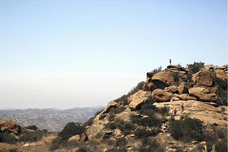
Photo source: Visit Simi Valley ↗
Regional trail
Rocky Peak Trail
Rocky Peak Road trailhead, eastern Simi Valley area
A regional route linked to several Simi Valley trails. Plan for exposed terrain and changing weather.
Hiking · Connecting trails
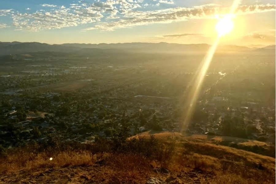
Photo source: Visit Simi Valley ↗
Hillside trail
Mount McCoy Trail
Access from Los Amigos Avenue or Washburn Street
A west-central Simi Valley hillside route. Consult the park district’s map for the appropriate entry.
Hiking · Hillside views
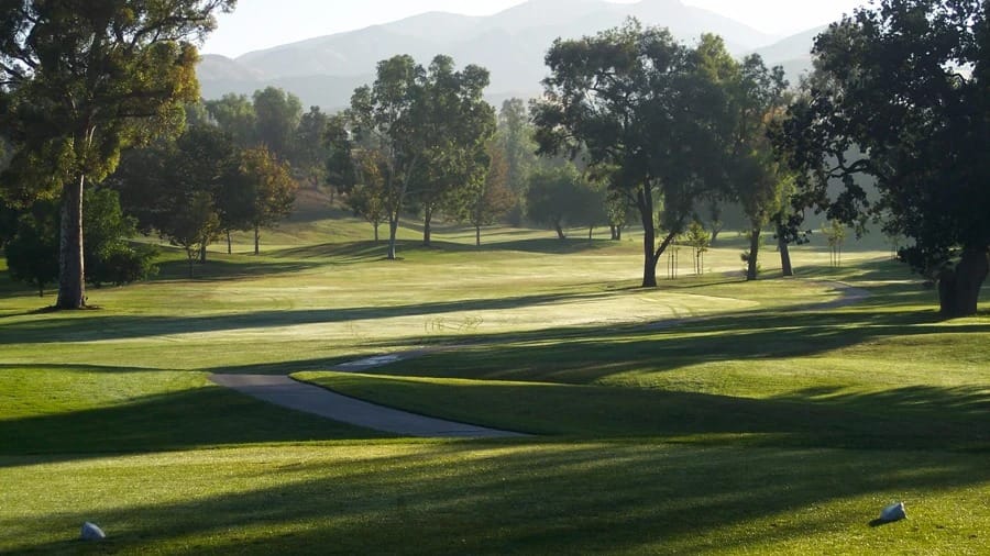
Photo source: Simi Hills Golf Course ↗
Golf & recreation
Simi Hills Golf Course
5031 Alamo Street, Simi Valley
A public golf course with tee-time reservations and practice facilities. Check current fees and availability directly.
Golf · Practice facilities · Reservations
Parks, Trails & Outdoor Adventures
SIMI VALLEY LIVING
Home · Neighborhoods · Parks & Trails · Events · Moving Guide · Contact
SIMI VALLEY LIVING
Community resources curated by Alex Ramirez. Not affiliated with the City of Simi Valley.
alex@valorhf.com · (805) 857-3708 · Schedule a Call
© 2026 Simi Valley Living · Alex Ramirez · NMLS #450556 · CA DRE #01789465
Valor Home Finance, a division of XHL · NMLS #2179191 · CA License #02166758 · Equal Housing Opportunity.

Created with © systeme.io